|
Of the 20 highest peaks in the United States, 17 are in Alaska. Mt. McKinley, the highest peak in North America, is 20,320 ft. above sea level. Denali, the Indian name for the peak, means "The Great One." 65% of the state's land is owned and managed by the U.S. federal government. The State of Alaska owns about 25% and 10% is owned by native people, leaving less than 1% of the land in private hands.
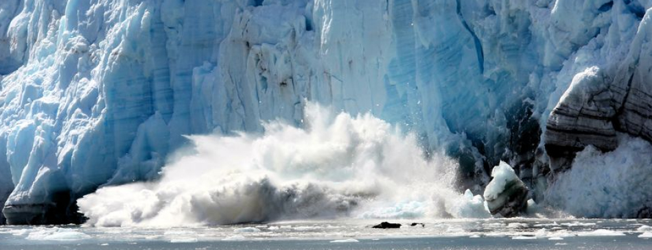
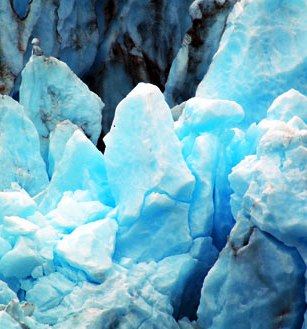
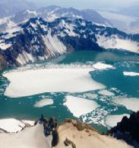
Alaska has an estimated 100,000 glaciers, ranging from tiny cirque glaciers to huge valley glaciers. There are more active glaciers and ice fields in Alaska than in the rest of the inhabited world. The largest glacier is the Malaspina at 850 square miles. Five percent of the state, or 29,000 square miles, is covered by glaciers.
On March 27, 1964, North America’s strongest recorded earthquake, with a moment magnitude of 9.2, rocked central Alaska. Each year Alaska has approximately 5,000 earthquakes, including 1,000 that measure above 3.5 on the Richter scale. Of the ten strongest earthquakes ever recorded in the world, three have occurred in Alaska.
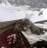
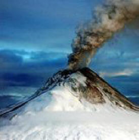
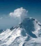
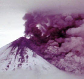
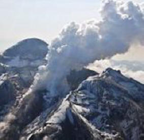
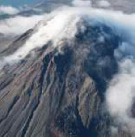
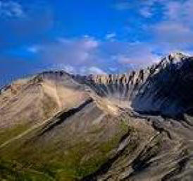
There are more than 70 potentially active volcanoes in Alaska. Several have erupted in recent times. The most violent volcanic eruption of the century took place in 1912 when Novarupta Volcano erupted, creating the Valley of Ten Thousand Smokes which is now part of Katmai National Park.
Alaska's geography can be categorized into four main areas including two mountain ranges, a central plateau, and the Arctic slope or coastal plain.
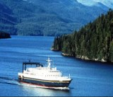
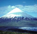
Pacific Mountain System: In the south and southeast, the Pacific Mountain system is a major feature and is divided into many subdivisions. In general, the Pacific Mountain System runs from the Aleutian Islands down through south central Alaska down the Pacific coast to southern California. In southeast Alaska, a strip of land about 400 miles long and about ten to 150 miles wide comprises what is known as the Alaska Panhandle bordering the Pacific Ocean and the Gulf of Alaska. The Pacific Mountain System includes, from the south, the Saint Elias Range, the Wrangell Mountains, the Chugach Mountains and the Kenai Mountains (West to the Kenia Peninsula and Kodiak Island), the Talkeetna Mountains, and the Alaska Range home of Mt. McKinley.
Extending southwest from the southern Alaska mainland and the Alaska Range, the Alaska Peninsula and the Aleutian Islands are supported by the Aleutian Mountain Range. The Aleutians include 14 large islands and about 55 small islands. The largest islands are Unimak, Unalaska, and Umnak. The Aleutian Range extends 1,600 mile, from Mount Spurr, across Cook Inlet from Anchorage, to Attu Island near the Asian continent and contains many active volcanoes. This range is home to the Valley of Ten Thousand Smokes, created when Novarupta erupted in 1912. The Valley of Ten Thousand Smokes was named for the numerous fumaroles in the area. Fumaroles are holes in the earth that release hot gas steam into the air.
Within the Pacific Mountain System are two distinct lowland areas; the Copper River Basin and the Susitna-Cook Inlet lowland. The Copper River Basin lies between the Chugach and Wrangell mountains and during the ice age was once the site of a large lake. Today it is a forested woodland. The Susitna-Cook Inlet extends north and east from Anchorage and is mostly forested. It also includes the fertile farmland known as the Matanuska Valley.
Central Uplands and Lowlands: This area is sandwiched between the Alaska Range of the Pacific Mountain System in the south and the Brooks Range of the Rocky Mountain System of Alaska in the north. Its geography makes up the largest land area in Alaska. Bordered on the west by Canada, the Central Uplands and Lowlands region extends westward to include the Seward Peninsula and the Kuskokwim River area of southwestern Alaska. The Central Upland and Lowlands area is marked by low, rolling hills and swampy river valleys such as the those of the Koyukuk, Kuskokwim, Tanana, and Yukon rivers.
Rocky Mountain System of Alaska: North of the Central Uplands and Lowlands area is the Rocky Mountain System of Alaska. This area is comprised of the Brooks Range and the Brooks Range foothills. The Brooks Ranges is comprised of glacier-made mountain peaks that rise to 9,000 feet above sea level in the east with lower elevations in the west.
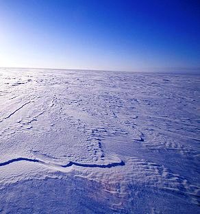
Arctic Coastal Plain: The northernmost geographic area of Alaska is called the Arctic Coastal Plain. This area lies north of the Rocky Mountain System and slopes gradually toward the Arctic Ocean. This is the land of permafrost (Permanently frozen ground) and no trees can manage to grow in this area. The surface of the ground does thaw enough in the spring to allow the growth of grass and wildflowers however. This area is called the tundra.
|