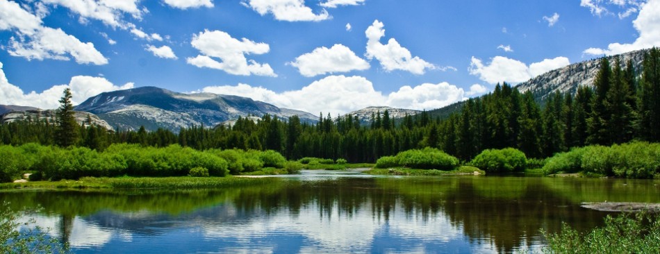
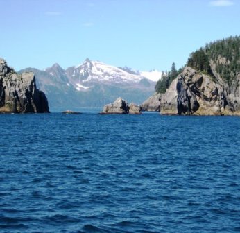
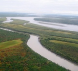
Alaska has a coastline of 6,640 miles, and has many bodies of water bordering it. To the north is the Arctic Ocean and Beaufort Sea. To the northwest is the Chukchi Sea. The Bering Strait and Bering Sea lie along the west and southwest of Alaska, as well as the north of the Aleutian Islands. The Pacific Ocean borders the southern coastline of Alaska.
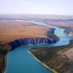
Driving the Seward Highway along Turnagain Arm southeast of Anchorage one may occasionally observe a white, frothy line of turbulent water extending completely across the arm and moving slowly upstream. The column of disturbed water usually appears to be about two or three feet high and maybe ten feet across. This is a tidal bore. It is created when rising tides in Cook Inlet encounter the constricted entrance and diminishing water depths of Turnagain Arm. Cook Inlet has exceptionally high tides to begin with, and under the "right" conditions, the tide will rise faster than Turnagain Arm can smoothly accommodate it. When it reaches a height sufficient to surmount the water already occupying the arm, it breaks over and comes rolling with a steep, high front.
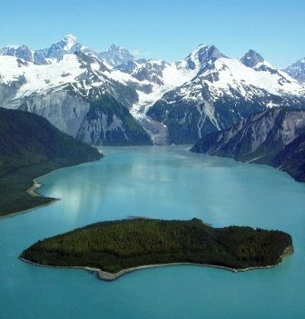
Lituya Bay is a fjord located on the coast of the Southeast part of the U.S. state of Alaska. It is nine miles long and two miles wide at its widest point. The bay was noted in 1786 by Jean-François de La Pérouse, who named it Port des Français. Twenty-one of his men perished in the tidal current in the bay. The smaller Cascade Glacier and Crillon Glacier glaciers and the larger Lituya Glacier all spill into Lituya Bay, which is a part of Glacier Bay National Park and Preserve. Cenotaph Island is located roughly in the middle of the bay. The entrance of the bay is approximately 500 meters, or 0.31 miles, wide, with a narrow navigable channel. The bay is known for its high tides and strong currents. The entrance is considered dangerous to navigation, especially when the tidal currents are running, but the interior of the bay provides good protection to anchored ships. Lituya Bay is also famous for hosting four recorded tsunamis over 100 feet: in 1854 (395 feet high), 1899 (200 feet), 1936 (490 feet), and 1958 (1740 feet).
The Aleutian chain is probably the most prolific producer of the tsunamis in the world. In the memory of most Alaskans, the tsunami associated with the 1964 earthquake is probably the most vivid. Not only did it devastate many coastal villages and towns such as Valdez, Seward, Kodiak and Cordova (to mention but a few), but it also drowned people as far away as Crescent City, California. However, the Aleutian-generated tsunami of this century which probably had the most profound effects outside the state occurred on April 1, 1946. This resulted from an earthquake at Unimak Island. The water at Scotch Cap on Unimak rose more than 100 feet and completely destroyed a lighthouse. In the Hawaiian Islands, more than 2000 miles to the south, waves washed to a height of 57 feet, resulting in millions of dollars of damage, and killed 159 people. A great part of Alaska's coastline is susceptible to storm surges. Since ice cover dampens the development of storm surges, the most severe surges generally occur only in summer in the most northern areas. Since the Gold Rush days of 1898, at least 90 storm surges have battered Alaskan coastal villages and towns to cause damage running into the hundreds of millions of dollars, at today's costs. Storm surges are temporary abnormal changes in sea level that accompany storms in shallow coastal waters. Storm surges can be either positive or negative, that is, a positive surge is one where the height of sea level increases, and a negative surge is one where the level decreases from normal. Strong onshore winds or winds parallel to the shore, where the shore is to the right of the wind flow, cause positive storm surges Offshore winds or winds parallel to the shore, where the shore is to the left of the flow, cause negative storm surges.
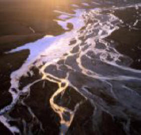
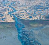
High rates of precipitation, up to 340 inches of water per year, along the coast of southeastern Alaska and British Columbia may have important local consequences for fish and marine mammals inhabiting the coastal waters there. As rains occur and snow melts, there is massive runoff of fresh water into the Gulf of Alaska. No one is certain how much fresh water runs off the mountainous coast since not enough of the stream flows in the area have been gauged. However, Tom Royer of the University of Alaska's Institute of Marine Sciences estimates that the runoff easily exceeds by three times the flow down the Yukon River. A curious thing happens to the fresh water running into the sea. Instead of flowing out southwesterly into the Gulf of Alaska and disappearing into the saltwater there, the fresh water forms into a cohesive jet that hugs the coast and flows northerly and westerly along it.
|