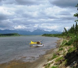
Alaska has about 3,197 officially named natural lakes, out of over 3,000,000 unnamed natural lakes. 86,051 square miles of Alaska are covered by water. The largest, Lake Iliamna, encompasses over 1,000 square miles. Many of Alaska's lakes are only reachable by air or boat. Lakes that are easily accessible are used for recreation such as boating, fishing, and swimming.
Becharof Lake is a 37-mile (60 km) long lake on the Alaska Peninsula. It is located 23 miles (37 km) south-east of Egegik, in the Aleutian Range. Becharof Lake is the second largest lake in Alaska after Iliamna Lake, and the fourteenth largest lake in the United States of America. The lake was named in 1868 by naturalist W. H. Dall, USC&GS for Russian navigator Dmitry Bocharov, IRN, who was at Kodiak and explored Alaska in 1788 and 1791.
In the late spring of 1791, chief manager of the Shelikhov Company in Russian America, Aleksandr Baranov, directed Bocharov to undertake an exploration of the northwest shore of the Alaska Peninsula from its southern tip north to Bristol Bay. He sailed and paddled from Unalaska in two 30-foot long open walrus-skin covered boats crewed by a total of 20-30 men. Having instructions to look for a portage across the peninsula near Kodiak, he went up the Egegik River into the lake that later bore his name (albeit by an Americanized spelling). He probed the lake to its most eastern extent, and there made a portage to the Pacific in the summer of 1791 and proceeded on to Kodiak, where he reported his findings to Baranov.
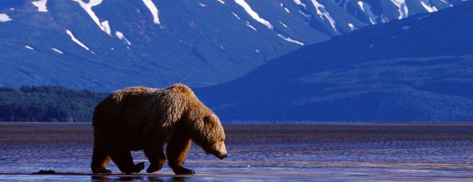
Becharof Lake is huge and as much as 600 feet deep, and is fed by two major rivers and numerous streams. This lake is a veritable salmon factory. The 300,000 acre lake serves as a nursery for the world's second largest run of sockeye salmon. It's estimated that Becharof Lake and its tributaries provide the Bristol Bay fishery alone with as many as six million adult salmon per year. When Becharof's salmon are spawning, they attract and feed one of the largest concentrations of brown bears in Alaska.
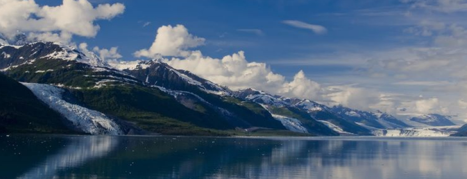
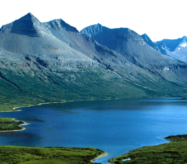
Becharof National Wildlife Refuge is a land of towering mountains, active volcanoes, broad valleys, fjords, tundra and glacially formed lakes. The Bristol Bay side of the Refuge consists primarily of flat to rolling tundra, lakes and wetlands. From these coastal lowlands, the land rises to steep glaciated mountains, forming the spine of the Refuge, and then plunges to steep cliffs and sandy beaches on the Pacific side.
The Refuge provides habitat for more than 200 species of resident and migratory wildlife. Marine mammals, sea birds, and waterfowl use the coastal areas. Bald eagles, hawks, falcons nest on the rock pinnacles and spires. The tundra lowlands are host to caribou, moose, brown bear, wolves, tundra swans, and waterfowl. Salmon, rainbow trout, lake trout, dolly varden/char, northern pike, burbot and numerous other fish are common. The Refuge provides important wintering habitat for the Northern Alaska Peninsula Caribou Herd, one of 13 major herds in Alaska.
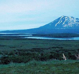
Deep in the remote Alaskan wilderness, Becharof Lake offers its visitors an unforgettable setting for hunting, fishing, hiking, and observing wildlife. The land surrounding Lake Becharof is as varied as it is beautiful. There are the sandy beaches and steep cliffs of the Alaska Peninsula's coastline, gently sloping hills, harsh tundra, and even the volcanic Mount Peulik at the lake's southern shore. The lake is part of the Becharof National Wildlife Refuge, a 1.2 million acre wilderness area that is accessible only by plane, boat, or hike over rugged, unmarked trail. Most visitors choose to reach Becharof by plane via a commercial flight from Anchorage to the nearby King Salmon Airport.
Perhaps the best way to appreciate Becharof Lake and its environs is by air. "Flightseeing" trips are favorite excursions, offering breathtaking views of Becharof Lake, the Becharof National Wildlife Refuge, and the coast. Mount Peulik on Lake Becharof's southern shore is not to be missed. The cone shaped volcanic mountain measures 4,835 feet tall. Volcanic activity in this area has been observed as recently as 1977, when the Ukinrek Maars craters were formed. Mount Peulik's gas rocks emit a steady stream of carbon dioxide, and the gases heat the waters at the base of the rocks, where the hot springs reach temperatures of 120 degrees.
|
|


